-
Engineering an analytics pipeline for water logger data and environmental event detection
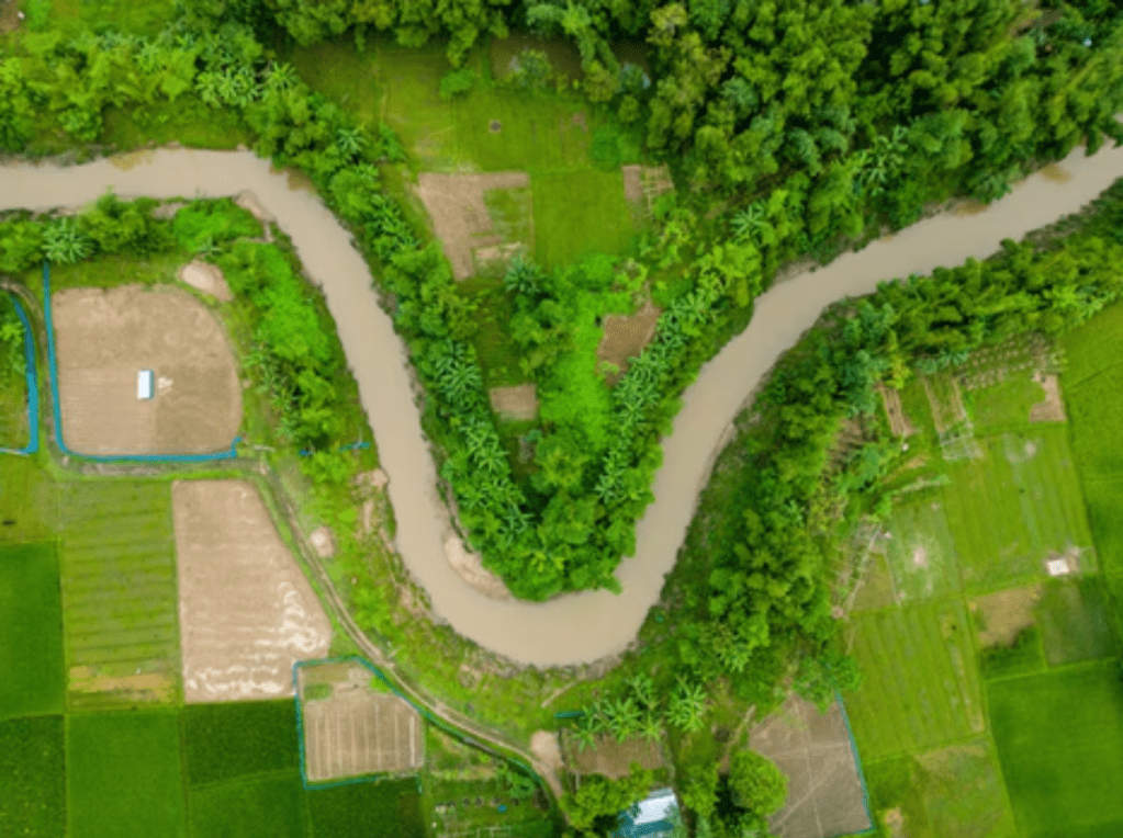
Photo by Abdul Kayum on FreeImages Validating satellite-derived wetland inundation maps requires a ground-truth baseline of water levels over time. In-situ submersible water level loggers provide this continuous time-series data. However, raw data downloads from field loggers are highly granular, noisy, and prone to environmental fluctuations, making them unsuited for direct comparison with satellite imagery.…
-
From manual work to smart automation: Mapping flooding in wetlands
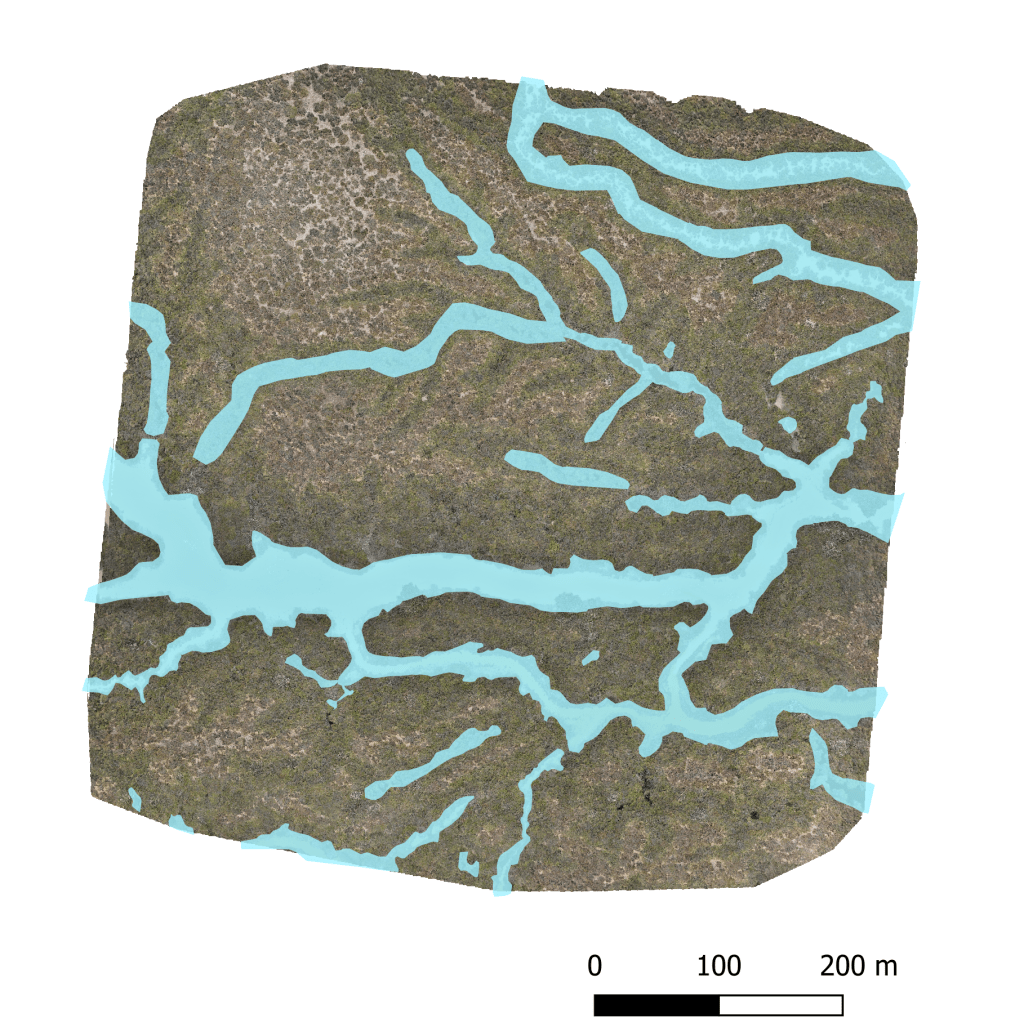
Using AI to map wetland flooding using satellite imagery. Image by Marie Attard I’ve been working on a fascinating challenge in the NSW Murray-Darling Basin: taking massive amounts of environmental data and using automation to map where water flows. Tracking large-scale wetland flooding and water movements Traditionally, tracking floods and water movement across millions of…
-
Building a reproducible spatial data pipeline: Python workflows for basin-scale wetland hydrology
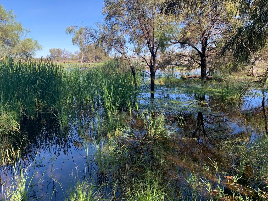
Murray Darling River. Photograph by Marie Attard The NSW Murray-Darling Basin spans one of Australia’s most complex river and wetland networks, making large-scale geospatial analysis a challenge. To map water dynamics effectively across this region, I built a reproducible Python workflow that transforms raw geospatial data into actionable insights, helping uncover wetland distribution patterns and…


