-
Engineering an analytics pipeline for water logger data and environmental event detection
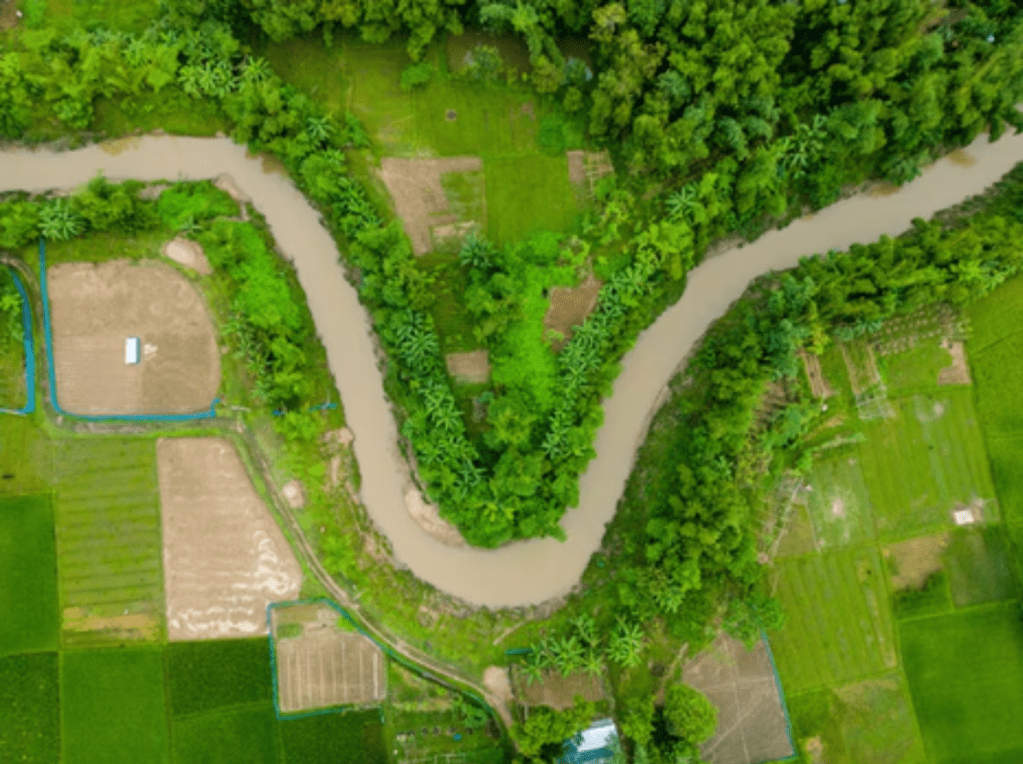
Photo by Abdul Kayum on FreeImages Validating satellite-derived wetland inundation maps requires a ground-truth baseline of water levels over time. In-situ submersible water level loggers provide this continuous time-series data. However, raw data downloads from field loggers are highly granular, noisy, and prone to environmental fluctuations, making them unsuited for direct comparison with satellite imagery.…
